Check the land before you pay anyone.
This is step 1 of buying land in Costa Rica. In about a minute, see what is around the land, who provides power and water, what the legal flags are and where the borders run.
Can't find your plano catastro? Tap your land on the map and we'll pull it up and print it for you.
A real parcel in Santa Cruz. It scores 70 out of 100 (good): excellent soil and climate, fair for building. Every number below comes from this one.
Every question you have, on one page.
- Should I buy this land?
- One score from 0 to 100 and a plain-English verdict, so you know where you stand before you call anyone.
- Is it where I want to live?
- What's close: the nearest town, supermarket, hospital, school, beach, airport and highway, with distances.
- Are there legal issues?
- Protected areas, river setbacks and registry flags, plus the checklist your lawyer will want to work through.
- Can I build on it?
- Slope, flood and landslide risk, soil and earthquake zone. This sample: 6% slope (gentle), very high seismic risk.
- How much solar can I produce?
- Yield for the exact spot. This sample: about 1,534 kWh per kWp per year.
- Who provides power and water?
- The electricity company for the area, the nearest mapped substation and water source, and the written availability letter to ask each provider for. No public map shows whether a line or pipe reaches the lot.
- Where are the borders?
- The registered boundary and a printable plano catastro, plus files for your surveyor or LiDAR scan: KML, CRTM05 GPS points and GeoJSON.
Do this before you buy any piece of land.
Land problems usually show up after the money has moved: no legal access, a river setback, no water, ground that can't be built on. Checking takes a minute and costs far less than the surprise. Then hand the report to your lawyer, notary and topographer so they start from facts instead of from scratch.
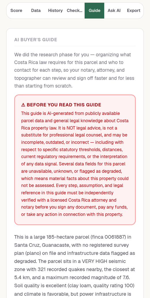
Buyer's Guide
What Costa Rican law requires for this parcel and who to call at each step.
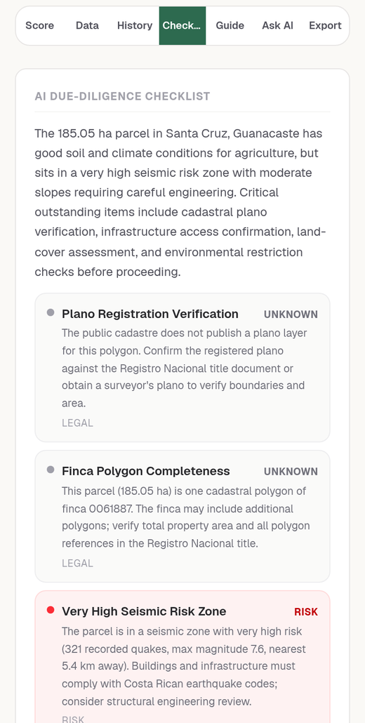
AI report
A checklist built from the parcel's real data, with the risks flagged.
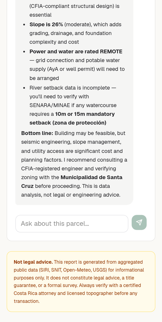
Ask AI
Ask anything about the property and get an answer from its own data.
Free while we test. Prices for when we open.
Check $199
The score, all the property info and the map layers you can switch on and off, as a PDF too.
Field pack $299
Check, plus the Buyer's Guide and the AI report.
Everything $399
Field pack, plus Ask AI, KML for Google Earth, CRTM05 GPS points and GeoJSON.
LandIQ is data analysis, not legal advice or a survey. Always confirm with a Costa Rican attorney and a licensed topographer before any transaction.